-
About Union
Geographical & Economic
Miscellaneous
-
Union Parishad
-
Govt. Office
স্বাস্থ্য বিষয়ক
সমাজসেবা বিষয়ক
-
Other Institutions
শিক্ষা প্রতিষ্ঠান
ধর্মীয় প্রতিষ্ঠান
-
Different Lists
সুবিধাভোগীদের তালিকা
- Projects
-
Services
ইউনিয়ন ডিজিটাল সেন্টার
জেলা ই-সেবা কেন্দ্র
জাতীয় ই-সেবা
- Gallery
-
About Union
Geographical & Economic
Miscellaneous
-
Union Parishad
Union Council
Union Council
Activities of Union Counci
Current Parishad
Village Adalat
Organogram
Important Info.
Related information
-
Govt. Office
স্বাস্থ্য বিষয়ক
সমাজসেবা বিষয়ক
-
Other Institutions
শিক্ষা প্রতিষ্ঠান
ধর্মীয় প্রতিষ্ঠান
-
Different Lists
সুবিধাভোগীদের তালিকা
- Projects
-
Services
ইউনিয়ন ডিজিটাল সেন্টার
জেলা ই-সেবা কেন্দ্র
জাতীয় ই-সেবা
- Gallery
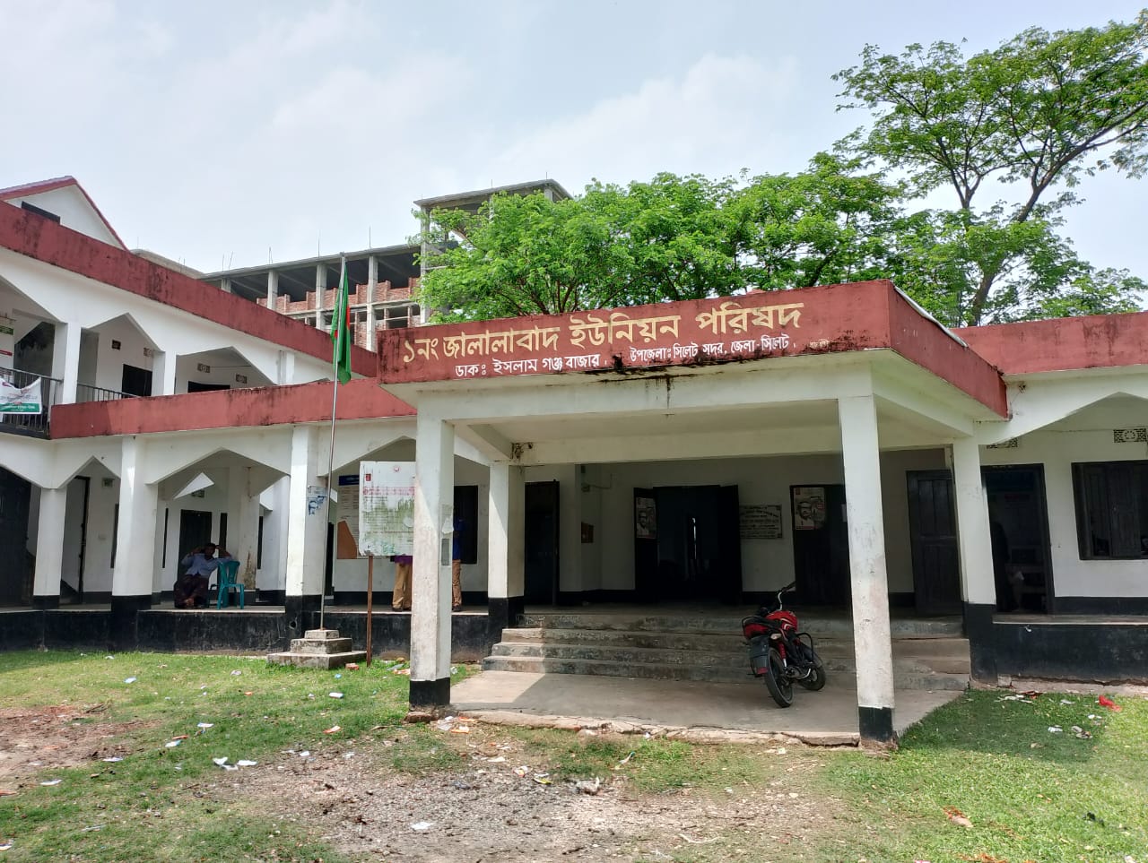
The location of this town built along the banks of the Chenger Canal is at the very northern end of Sylhet Sadar Upazila. Before the formation of the Union Parishad, the 24 villages on the north side of the Chenger Khal River were collectively called Rajar Gaon. Later, during the formation of the Union Parishad, the town was named Jalalabad. The history of Jalalabad can be divided into several episodes; For example; Ancient Population Details, Historical Details, Ancient Kingdoms, Aryan Age, Muslim Rule Period, Mughal Period, British Period, Inclusion in Pakistan, Liberation War and Bangladesh. Sylhet refers to the Sylhet division in the northeastern part of Bangladesh, although some parts of the historical Sylhet region have been part of the Indian state of Assam since 1947.
It is said that during the Puranic period this region belonged to the ancient kingdom of Kamarupa. It is said that during that period, Kamrup was the capital of the state at Laur Parbat in Sylhet. It is believed that the Dravidian and Mongolian people settled in this region in ancient times. After the 7th century AD, Jaintia was divided into three distinct kingdoms, Lauda and Gauda. The ancient Gaur kingdom is historically recognized as the region of the present (divisional city) Sylhet. In the 10th century, parts of the region are known to have been ruled by the Chandravansya kings of Vikrampur. The region was conquered by the Muslims in 1204 CE through the conquest of Bengal by Ikhtiyar ud-Din Muhammad bin Bakhtiyar Khilji, and in 1303 CE when the kingdom of Gaur was conquered by Auliya Shah Jalal (r.a.), establishing Muslim rule in the state through the Sultans of Delhi. Then the city was named Jalalabad instead of Gaur after matching the name of Auliya Shah Jalal.
Then in 1575 AD, when it was included in the powerful Mughal Empire, the geographical boundaries of the region changed a lot. In 1765, Sylhet Division came under the East India Company. In 1772, Sylhet District was formed, with three and a half Thanas belonging to India since 1947. At that time, the area of Sylhet District was 5,440 square miles. In 1874, this region was included in the Indian state of Assam. Sylhet was a part of Assam till 1947 AD (except for the period of partition of Bengal from 1905-1911). Through a referendum in 1947 AD, this region became part of the borders of the newly created state of Pakistan and is included in present-day Bangladesh; Although some parts of it like Karimganj, Patharkandi, Badarpur etc. areas got separated from Sylhet and became part of Assam and independent India.

Planning and Implementation: Cabinet Division, A2I, BCC, DoICT and BASIS


